Monday, August 4, 2014

Gunn Peak Attempt 08-02-1014


Here's a group shot.  Behind us is Baring Peak, you can see the thunderclouds approaching.  We saw lighting and decided to bag Gunn Peak and descend.


The stream crossing was almost at the start and we were all very careful not to get wet feet.


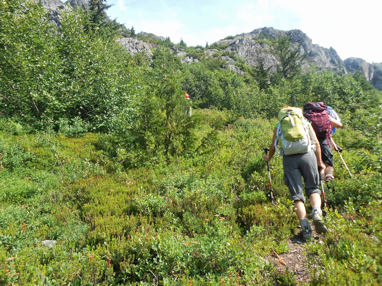
The bushwhacking almost done, we could see a clear trail now.


Mount Baring for which the trail is also on Forest Service road 6024.  If I ever come back I like to climb Baring and Gunn Peak as well as some of surrounding mountains.


  Peak 5760


Here's the group approaching the saddle, the clouds are starting to roll in around us.


The headwaters of a small stream, and a little snow left approaching the saddle.


Here's the Baring Store and Post Office and restaurant, the PCT goes through Stevens Pass but it looked very hiker friendly. 


Our campsite at Money Creek Campground, it was nice with water and bathrooms but the it was right next to the train tracks.  I imagine every campground is next to train tracks along Highway 2.  If I go again in the future maybe camping up along the saddle and then hitting a couple of peaks maybe Gunn and Tailgunner.


Basecamp software's version of our hike.


Google Maps, you can see the red line is our track and we are about 1,200 feet from the top of Gunn Peak which is the at the top of the screen.


We ate breakfast in Gold Bar at the Mountain View Diner.  I had a coffee and a large omelet, hash-browns and biscuit.


Here's Gunn Peak, we will have to wait until next year.  Some of these photos are taken from my team and are copyrighted.

Saturday, July 19, 2014

Public Transit to Timberline Trail and Bald Mountain


I hiked up to Timberline Trail this weekend and took public transit all the way.  I got up early Friday and took Tri-met's line 4 to Gresham, on could also take the Max train. Then took the S.A.M. to Sandy.   I took the GPS this time as I need to learn how to use it and this is a shot from Google Earth.


Mt. Hood Express left in an hour so I walked around Sandy for a while.  I think I've only been to the coffee shop and Safeway in the past so I was happy to do a little sight seeing.  This old building looks like is used to be a saloon with maybe a brothel and or hotel.


The Barlow Road crosses though Sandy on it's way to Oregon City as the end of line for the Oregon Trail.


This is my accent form Garmin's Basecamp software.


This is my descent.


A mural in Sandy.


The experess dropped me right off at Timberline Lodge and from the day lodge I filled out a wilderness permit and was on my way.


There was a little snow early on but totally passable, here I started off on the Timbeline Trail which is also the Pacfic Crest Trail for a time.


A field of Avalanche Lilies, it reminded me of the poppy's in Wizard of Oz.


It was my first time using some gear including this Eno Hammock and straps and it was easy to set up and after a 15 mile hike in, I slept like a baby.  I was a little worried  that I would have neck problems or that I would want to move around while I slept but no problems on my first day.


When I got to Ramona Falls, I had it all to myself.  Friday I think I saw like 16 people total, triple that on Saturday.  If possible I would like to go again during the week to get more solitude. 


Mt. Hood at sunset from atop Bald Mountain.  There happened to be a photographer there who was a day hiker and probably parked at Lolo Pass road.  


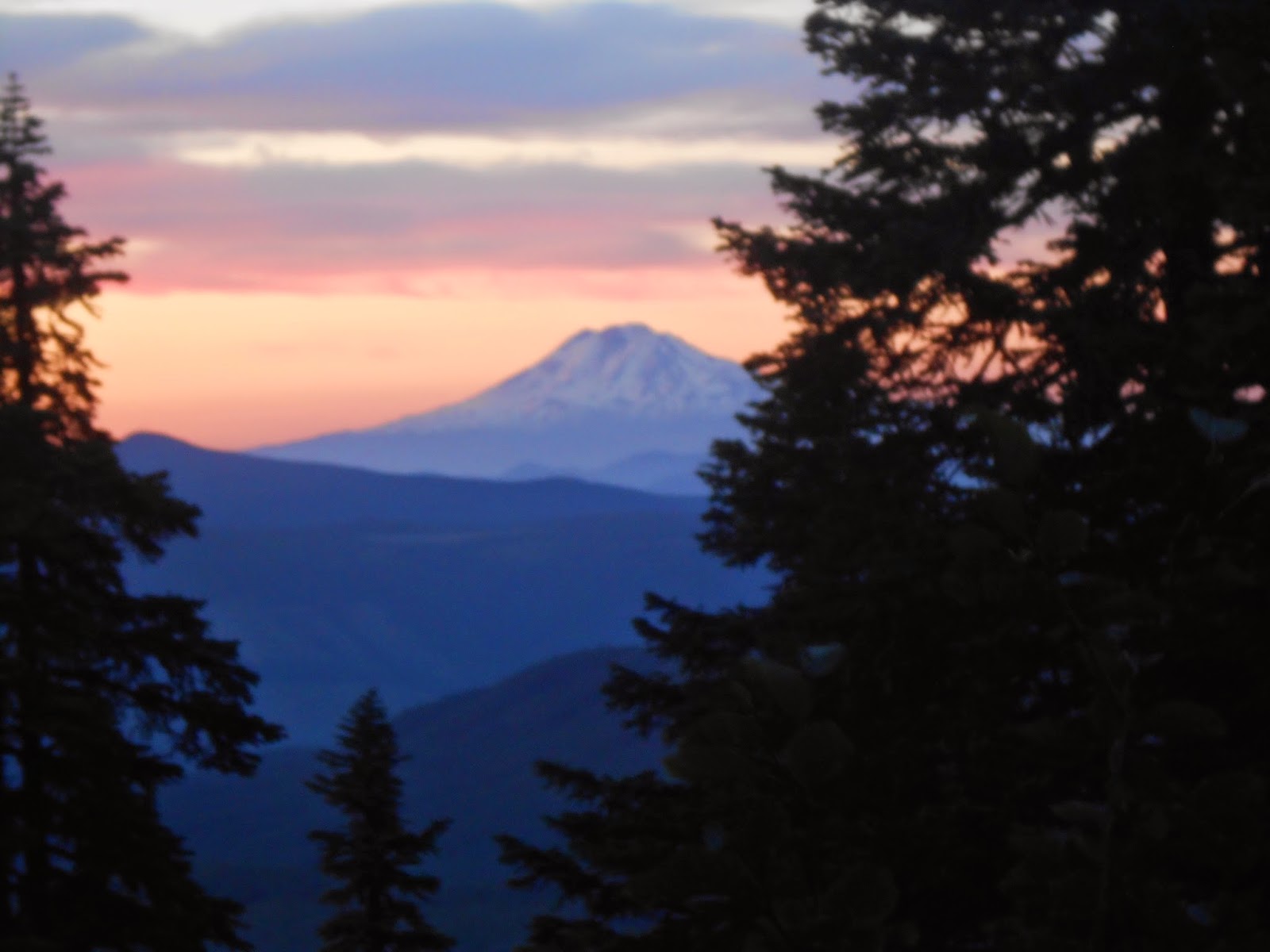
Mt. Adams at sunset as well.


As I was crossing the Muddy Fork I noticed my boots were acting funny.  I had repaired the boots with Shoe Goo after a hike on Crystal Mountain but I guess I didn't do a good enough job because it happened again.  I was left with the predicament of keep going on the trail or returning.  I decided to hike up to Bald Mountain and camp and return the next day.  As I didn't know the snow conditions on the North side and the washout where the trail is "closed"  would be unwise with sup-par boots.


I decided to go back to Timberline after my boot mishap, it looked like a long ways so I started just before 7 A.M.


Columbine and other wildflowers were at the ridge of Bald Mountain.


Here's the Bald Mountain trail from the Timberline Trail.   On my accent I didn't know if there was a trail to the top so I bushwhacked about 500 yards and low and behold found this trail which took me up to where I camped.


I decided to go make a bit of a loop going back around the Pacific Crest Trail to have new scenery for a bit.


There were quite a few stream crossings on the Timberline Trail and the PCT.  This one is at the Muddy Fork.


The Sandy river basin was just that...sandy


I went back on Paradise Park loop trail again to get some different scenery.


I was trying to go down the Paradise ravine trail but I lost it and I then I saw the PCT and knew it from coming there on Friday so I made my way along the tree line over towards the PCT and took that down the rest off the way.


Overall a pretty good trip, I got to utilize some new gear and will have to go back to complete the Timberline Trail.

Monday, July 7, 2014

Mt. Adams 07/04/2014


We set out  to climb Mt. Adams via the Mazama Glacier over the fourth of July weekend. 
Here is a group shot taken just below Sunrise camp.


Bird Creek trail and the gate were still closed so we had a little bit longer of our approach but saved $5 on parking fees at Bird Creek.  We went up along the South Side trail and then went east on the Round the Mountain trail.


It was a hot day, I was already stripped down to my base layer and the rest of the group should follow me I believe.   I think I saw heat stoke on a couple of members.


The approach, as you can see the trail if covered in snow.  So we had to bushwhack it up to Sunrise camp.


Here is Sunrise camp with all of the rock shelters.   I think 12-15 shelters.  Mountain forecast predicated 50 mph gusts Friday night.  I don't know if they got that heavy but definitely above 40 mph.


Here is my second outing with my Big Agnes Cooper Spur 2.  I attached some Tibetan prayer flags to it.  It did well in the wind.


When we awoke on Saturday, the conditions weren't good.  There were clouds coming over the mountain that weren't foretasted.  The snow was soft as the freezing level was higher than the mountain itself and the low's were only in the 40's.  And we timing was an issue as we had a relatively slow team.  Jeff made the decision to cancel the climb, and so we got some more sleep. Mazama glacier, maybe next year.


On Saturday we did some crevasse rescue drills before hitting the trail for home.  I learner the 
mariner's knot can be used instead of a munter-mule and is easier.

Thursday, June 26, 2014

South Sister via Prouty Glacier


We were supposed to  climb Mt. Baker this weekend, but the weather looked a little iffy with snow falling and rain foretasted for our approach.  Eileen gave us another choice to go up Prouty glacier on South Sister and that sounded like a good compromise.

I met Dave at his house and later Jean came and we were off to Sunriver to stay at Eileen's house there a day before the climb.

It had been over 25 years since I was last at Sunriver and it is just as nice as I remember it and some more amenitys by now I think like the big pool and the water toboggan.


We ate outside at the Sunriver Brewing Company on their patio.  I had the Lava Butte Burger  a BBQ  burger with pepper jack and Vicious Mosquito IPA both were excellent and I left feeling full after the drive.  Karen came late for dinner, I had climbed Mt. Olympus with her last year.  We then left for Eileen's house and to met the other members of our team.

When we awoke Eileen knew a great spot to get some breakfast so we headed over to the Cafe Sintra for a bacon omelette and a generous Americano in a bowl.  Then it was off to Green Lakes trail head.


The hike in was pleasant, although much of it was snow covered, the mosquitoes weren't that bad if we kept moving.  The only people we saw  all day were two climbers making their descent from Broken Top.   The suncups were something to be reckoned with though as they covered the last half mile to our camp.


This was the first time I slept in my Big Agnes tent, everybody else camped on a few dry patches but I camped on snow to see how it did.  It just fine for an alpine start, if any more days I would have liked to have a zero degree bag or two mattress pads.


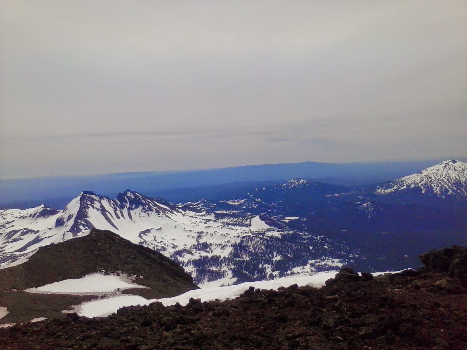
Here is Broken Top at first light just before we roped up.


The climb was steep from the start and I think we did pretty well, we in fact got a little to high on traversed our way to the begin of the Prouty glacier and the had to descend a couple hundred feet to rope up.  There were two rope teams and I was at the very back of the pack and in charge of picket cleaning.  Karen and Heather were in front of me on my team.


Here are North Sister and Middle Sister is covered up by rocks.  This is where we took a break where we avoided rockfall.


The bergschrunds were small and maybe the biggest difficulty of the ascent was rock fall and the snow getting a bit to soft.  We made it to the top of Prouty where the tarn is and me a Jean went to check out the true summit before heading down via the south route before glissading down to Green Lakes.  We then took a little bit of break, filled water bottles and trekked the four miles back to our vehicles.  The snow was by then a slush fest but we Jennifer found a good trail and we made to best of it.  The bridges we thought might give of some trouble but someone else had cut steps down and it worked out fine.


I am proud to have climbed this, although I am disappointed we didn't climb Baker I think less then 100 people climb this route per year so kudos to our team!


Prouty glacier and the chute the was our route.