Monday, September 16, 2013

Del Campo Peak and Gothic Peak 09/14/2013


We did a couple of scrambles this weekend in the Monte Cristo area.  Close to Glacier Peak and took the same trial as Cadet Peak before veering off to Gothic Basin.


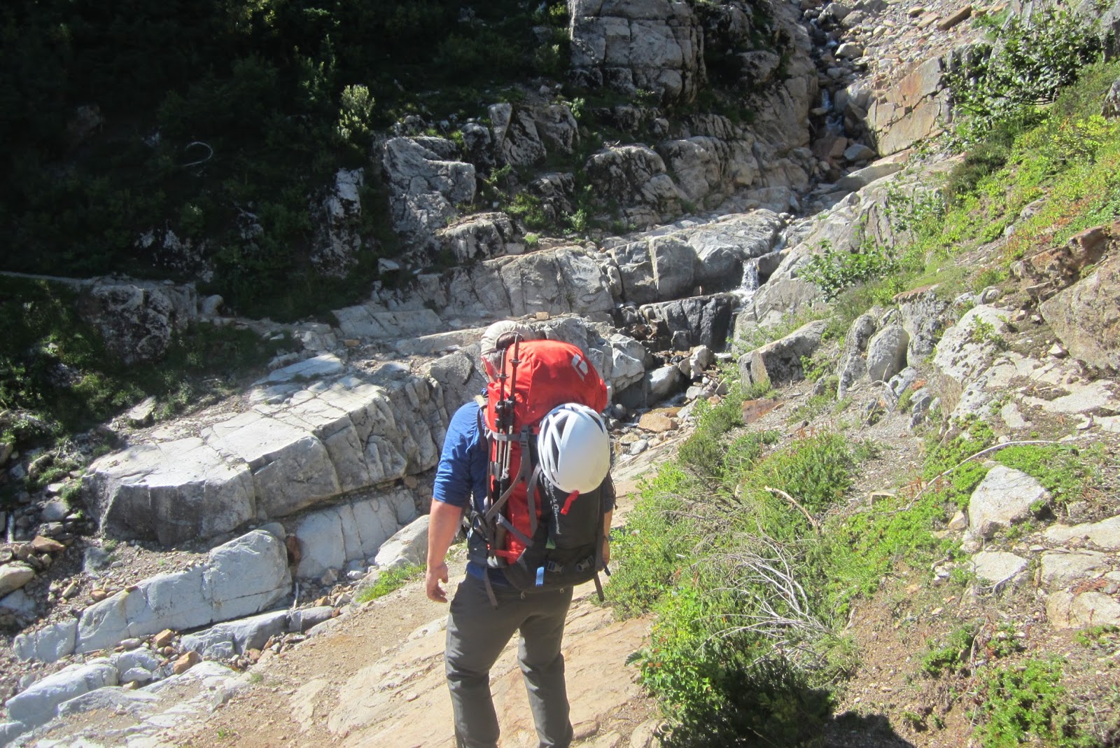
The trail was moderately up hill and lots of rocks on the trail.


Some other people left this art form of an arc with rocks, here is Daniel in awe.


Here is Del Campo Peak elevation 6,610 ft.


And Gothic Peak elevation 6,213ft.


Making the approach to Del Campo, we had eight Mazamas and I knew most of them.


It does get stepper, but it was an easy scramble.


Here is Foggy Lake, we camped on a tarn not far from it. 


This is Brad in elatation of reaching the top of Del Campo Peak.  He was also my tent mate.


We aren't far from Glacier Peak, I was surprised how little snow there was.


My summit shot of Del Campo.  We descended and had lunch at camp and then left for Gothic Peak.  Weather was going to be a problem on Sunday so we did all of our climbing on Saturday.


Ascending Gothic Peak from Foggy Lake, this alpine lake is beautiful.


Mone Cristo and the Cadets.


Almost to the top Gothic was filled with these crazy slabs, it was really fun.


Summit shot of Gothic Peak with Daniel, Lee, and Brad.  I felt fortunate to  climb with the Mazamas Executive Director.


Here is me pointed out where we just were a few hours before.


Here is the tarn we camped at, and did some swimming to after the climb.  It was a wonderful trip and very relaxed.  I hope to come back some time.

Tuesday, September 3, 2013

Skookum Falls 08/03/2013


I did a short hike up to Skookum Falls.  It is not far from Crystal Mountain about ten miles.  Just take highway 410 and then Forest Service road 73 to the trailhead.


The trail up was mostly flat going along the White River.


There was not a lot of people on the trail but I did see some mountain bikers. 


Skookum Falls elevation 2400 ft.


Skookum means "Evil Spirit" and also "Strong" in Chinook jargon.


I came when the water is the lowest, the falls really move in the early summer months.


Here's the viewpoint from highway 410 if you don't want to hike.


The trail was fairly easy but the hike up to the falls was a little difficult  with maybe 350 ft. elevation gained in less then a 1/4 mile.  

Thursday, August 29, 2013

Mom exploring Paradise to Sunrise and beyond


My mother was coming to visit Crystal Mountain and  Mt. Rainier.  I picked her up at the train station in Centrailia.


The weather was supposed to rain, but it looked rather good so I decided to check out Paradise on Mt. Rainier's west side.  Here is in National Park Inn on the way up to Paradise.


We stopped in the Ranger Station and they had this cool 3-D topo map, and I could show my mother all the places I have been.   


Here is Narda falls.


It was a beautiful waterfall from the Nisqully Glacier.  We saw some Washington Conservation Corps workers there as well.


Here we are hiking some of Paradises trails.  This one is the Nisqually Vista Trail.  My mother in her Mountain Hardwear ranger's cap.


Here is Paradise Lodge, built in 1916 it is a work of art.


Here is Box Canyon, I think the water was between 150-180 feet down.  It was craved out by glaciers.


The seconds day after resting at the Alpine Inn on Crystal Mountain we went up to Sunrise.  Here is the visitors center.


He hiked up Dege Peak.


My mother did excellent and we made it to the top and had the place to ourselves minus the cairns and wildlife.


Summit shot of Dege Peak elevation 7,006 ft.  


A friendly Marmot.


The sunrise snack bar and Dege Peak in the background.    We got some coffee and then decided to go the the Snorting Elk for dinner.


 A trip to Crystal Mountain wouldn't be complete without a trip on the Gondola.  The weather wasn't co-operating but we did not get rained on the whole time.


Making our way to the summit in style.


All and all a great trip even if we couldn't get a complete look at Mt. Rainier, all of the sub peaks were visible and I had a good time showing my mother around my new home.

Shriner Peak 08/23/13


I came down Friday before work to do Shriner's Peak.   It is one of the four remaining fire lookout staions on Mount Rainier.


The weather didn't look the best for getting good views, but I needed to hike and I think we've seen the last a the good summer days.


Here is the trail as I got out of the forest.


I got to a lookout spot and figured the lookout had to be around there, but then I realized it was up on this hill.


I made it to the top.  Shriner Lookout elevation 5,346 ft.


It is interesting that there are solar panels because I didn't think anyone is using the lookout and people come because its historic.   


A picture of me, there was another party which was above me that slowed me down a bit.  I made sure that I left before them on my way down.


Here's the inside of the lookout.  The National Park Map says it takes 4-5 hours and despite slowing down I did it in under 3.5 hours.