Here's a group shot. Behind us is Baring Peak, you can see the thunderclouds approaching. We saw lighting and decided to bag Gunn Peak and descend.
The stream crossing was almost at the start and we were all very careful not to get wet feet.
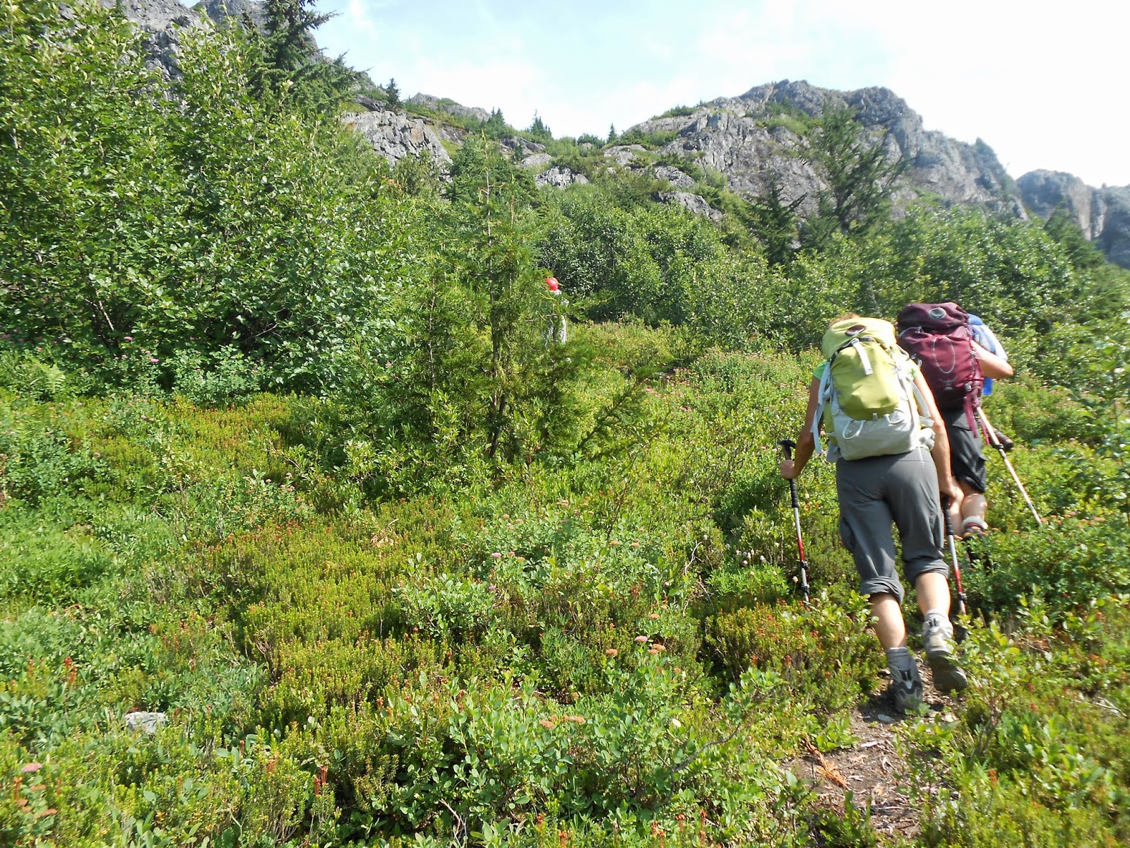
The bushwhacking almost done, we could see a clear trail now.
Mount Baring for which the trail is also on Forest Service road 6024. If I ever come back I like to climb Baring and Gunn Peak as well as some of surrounding mountains.
Peak 5760
Here's the group approaching the saddle, the clouds are starting to roll in around us.
The headwaters of a small stream, and a little snow left approaching the saddle.
Here's the Baring Store and Post Office and restaurant, the PCT goes through Stevens Pass but it looked very hiker friendly.
Our campsite at Money Creek Campground, it was nice with water and bathrooms but the it was right next to the train tracks. I imagine every campground is next to train tracks along Highway 2. If I go again in the future maybe camping up along the saddle and then hitting a couple of peaks maybe Gunn and Tailgunner.
Basecamp software's version of our hike.
Google Maps, you can see the red line is our track and we are about 1,200 feet from the top of Gunn Peak which is the at the top of the screen.
We ate breakfast in Gold Bar at the Mountain View Diner. I had a coffee and a large omelet, hash-browns and biscuit.
Here's Gunn Peak, we will have to wait until next year. Some of these photos are taken from my team and are copyrighted.


