Tuesday, July 30, 2013

Tamanos Mountain 07/30/13


Day two of my weekend.  I camped out at Tamanos Creek and left my overnight gear at the camp site while I hiked up Tamanos Mountain.  Here it is looking from Barrier Peak.


The Owyhigh Lakes has some of the most beautiful and abundant wildflowers I've ever seen.  Lupine are only pollinated by bees, so these bees where extra busy.


Columbine field with Old Man Of The Mountain or (Western Pasque Flower and Western Anemone)


Owyhigh Lakes with Govenors Ridge to the left and Barrier Peak to the right.


The climber's trail just past Owyhigh Lakes coming from White River.  Adventure Guide to Mount Rainier by Jeff Smoot said there was another trail before you get to Tamanos Camp but I didn't see it.  I explored a little bit the night before and saw this trail would take me up Tamanos nicely.


It is always cloudy in the mornings of Mount Rainier.  Barrier Peak the to left.


Me at the ridge of the false summit, behind me is Little Tahoma.


 A good view of Governor's Ridge and Barrier Peak which I hoped to climb later on.  I could see a trail going up Barrier Peak from Tamanos Mountain.


Tamanos Mountain elevation 6,790 ft.  A great 360 degree view of the mountain and all of it's ridges.


And you can see Sunrise as well.


Myself and the Mountain.


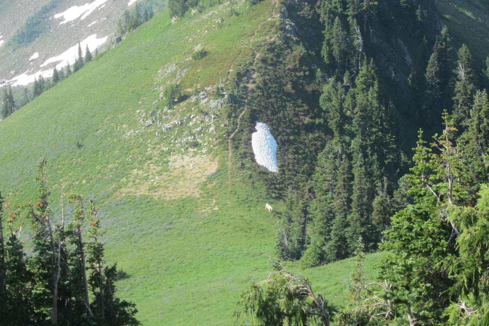
As I descended I saw a mountain goat on the ridge of the false summit.


I decided to try Barrier Peak next, first I had to find the trial which involved a little bushwhacking from Owyhigh Lakes trail.  Above is some Beargrass I found blooming.


It was a scamble up to the top, I don't think I went the right way.  I thought if I followed the trail any further it would lead me around Governers Ridge.  So I made my way up the lose rocky hill side.  But when I got to the top I was on a col of Barrier Peak and I knew I did not want to go down the same way I came up so I searched for a way to descend and didn't make it all the way to the summit of Barrier Peak.


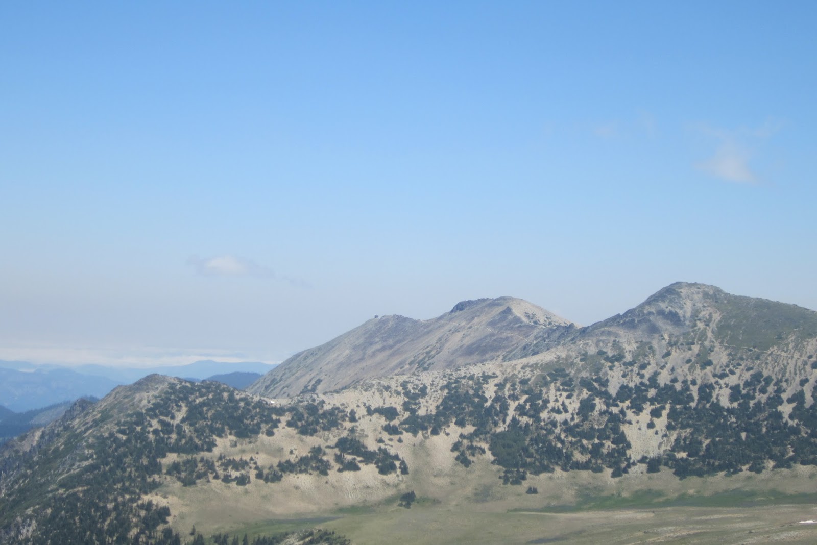
Another view of Tamanos Mountain and Owyhigh Lakes, it was a great day even though I didn't make it to the top of Barrier Peak.


I scrambled up the back side where the snow is, directly in the middle of the picture and descended the ridge, as I knew I had taken a foolish way but live and learn.  

Sunrise 07/29/13


I went up to Sunrise to start my weekend off.  At 6,400 ft. Sunrise is the highest point that can be reached by vehicle in Mount Rainier National Park.  Here is the Visitor Center.  It is a popular area, less so than Paradise but maybe second as far a people.  There are a number on day hikes, as well as the Wonderland Trail, and there's a number a campsites sites available from the trail head.  The Sunrise road is a little scary with  lots of twists and turns but there is a 35 MPH speed limit which helps.


My first stop of the day was the Burroughs Mountain's.  My initial plan was to do some hiking and then hike down to Glacier Basin camp, but when I got to White River Ranger Station they told me that that camp was closed due to bear activity.  So I decided to due some day hikes here at Sunrise and the drive to Tamanos trail head and hike up the Tamanos Creek camp site.   Above is Frozen Lake.


Great views of Mount Rainier from the Burroughs.  I am at the first Burroughs and the second Burroughs Mountain is in the distance.  It is named for naturalist and essayist John Burroughs.


Here is a marmot relaxing in the sun.


From a top the Burroughs I can see my next destination, Mount Fremont Lookout.  


Mount Fremont lookout is one of four lookouts still maintained inside Mount Rainier National Park.  Built in 1934 by the Civilian Conservation Corp.


It is locked now, but I think you used to be able to go inside.


This is Sunrise Point and Tamanos and Govern's Ridge are to the left on the picture.


It a 3.5 miles up to camp with over a thousand feet of elevation gain.


Tamanos Creek, I got water here reluctantly but purified it using tablets.


This is one of the nicest primitive camps I have seen.  There are four sites and one is a group site that can hold over 6 people.  I had the whole place to myself this evening.


My bivy site, sleeping bag and new Thera-Rest sleeping pad enclosed.


Bear pole for hanging food.  The park service spared no expense and it was easier than finding the right tree.


And a toilet too!  I got an early start as I planned to climb Tamanos Mountain in the morning.

Tuesday, July 16, 2013

Crystal Lake 07/16/2013


I went hiking up to Crystal Lake today.  I took the Silver Creek Trail and then met up with the Pacific Crest Trail.   You can also drive on highway 410 and get there from the other side.  


This in junction bewteen the Crystal Lakes Trail and the Pacific Crest Trail.  The Crystal Lakes Trail goes up and over the ridge.


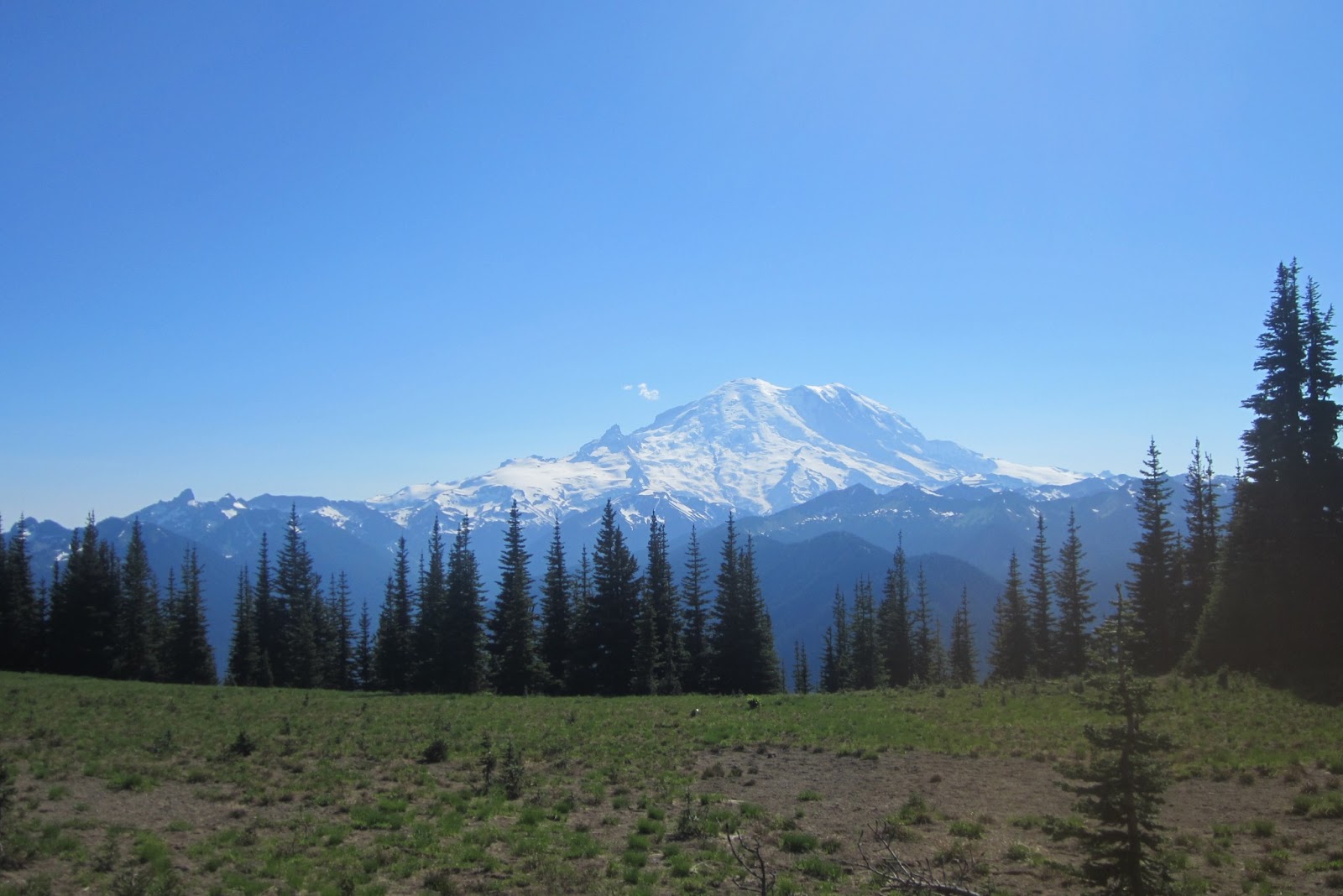
Mount Rainier looking splendid.


Blue Butterflys!


This is Upper Crystal Lake, I didn't have tome to go to Lower Crystal Lake today.  The bugs were quite bad.


Crystal Lakes is in Mount Rainier National Park.  Here is a camp site. 


I almost stepped on a frog.


Some salamanders. 


There was no point in trekking to the lake if you don't want to swim.  It was cold, I will have to come back when it's really hot outside.

Monday, July 15, 2013

Summit House - > Northway Trail -> Norse Peak 07/14/2013


I had my route planned but I still didn't know if I had enough time do it all.  I started out going on the Silver Creek trail.  A new sign was there to greet me.


Hen Skin Lake, a good place to relax and it is less than two miles away from the Base Area.  From Hen Skin Lake it took Crystal Mountain Trail.


Here's a self portrait on me and the magnificent Mt. Rainier.


From the Summit House I went down the Northway Trail, here is the Northway chair lift.


The Northway Trail is really beautiful and goes along this ridge and you have a good view of Mt. Rainier for more than a mile.  Here is maybe a good bivy site as well.  I will have to come back, although there nothing to protect me from the wind.


Here is a rock formation that I think was bolted recently, although I didn't see any signs of bolts.  The Northway Trail went on for a long ways, I was beginning to think I was on the wrong trail.


Finally the bridge.


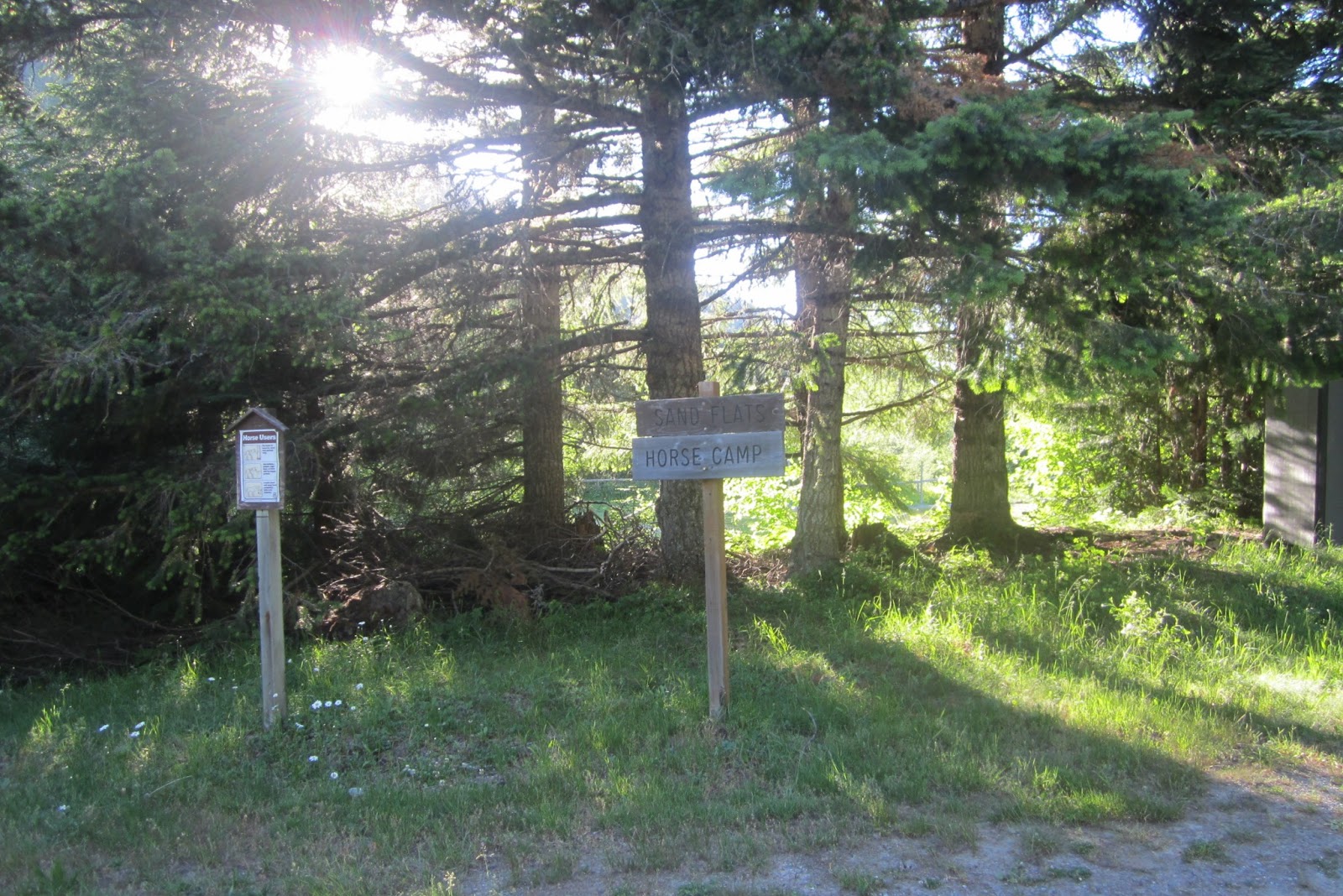
And the Sand Flats Horse Camp, about 3 miles away form the Base Area on Crystal Mountain Blvd.


I crossed the boulevard and was then on the Norse Peak Trail headed up a different way than I had been previously.


The sun was setting, I wasn't quite to the top yet.  Here is a view of Mt. Adams in alpenglow.


I finally made it to my bivy site, with 20 minutes before dark.  Woo-Hoo!


A beautiful day, and great views of the shooting stars later on is the night.


The next day I hiked down to Basin Lake.


But before I got there I saw some wildlife, it's a small herd of white tailed deer.


My self about to go down to Basin Valley.


From the Basin Lake Trail I hooked up with the Union Creek Trail and I took a side trail that landed me on top of the Bullion Basin Trail and headed back to the Alpine Inn.


Here a map with the red done in the afternoon and evening and the blue done the next day.