Here's a hiking map with a satellite view of Crystal Mountain base area. Some people were on the Bullion Basin Trail, so I bushwhacked up the cliffs on East Peak which the name isn't on the map but it is on the same ridge as Norse Peak.
I bushwhacked up all the way to Norse Peak. I hiked up two creeks to avoid wildflowers.
I heard a noise coming from the trees, a bear, a elk, it was two deer. I had time grab me camera just a the buck came out the trees.
He was somewhat intrigued with the sound me camera made when is was taking a picture.
Norse Peak is in site, with the bushwhacking done I can return to trails but both are fun.
View from close to the top.
Mt. Rainier from the top of of Norse Peak, you can almost see Goat Island Peak.
Basin Lake

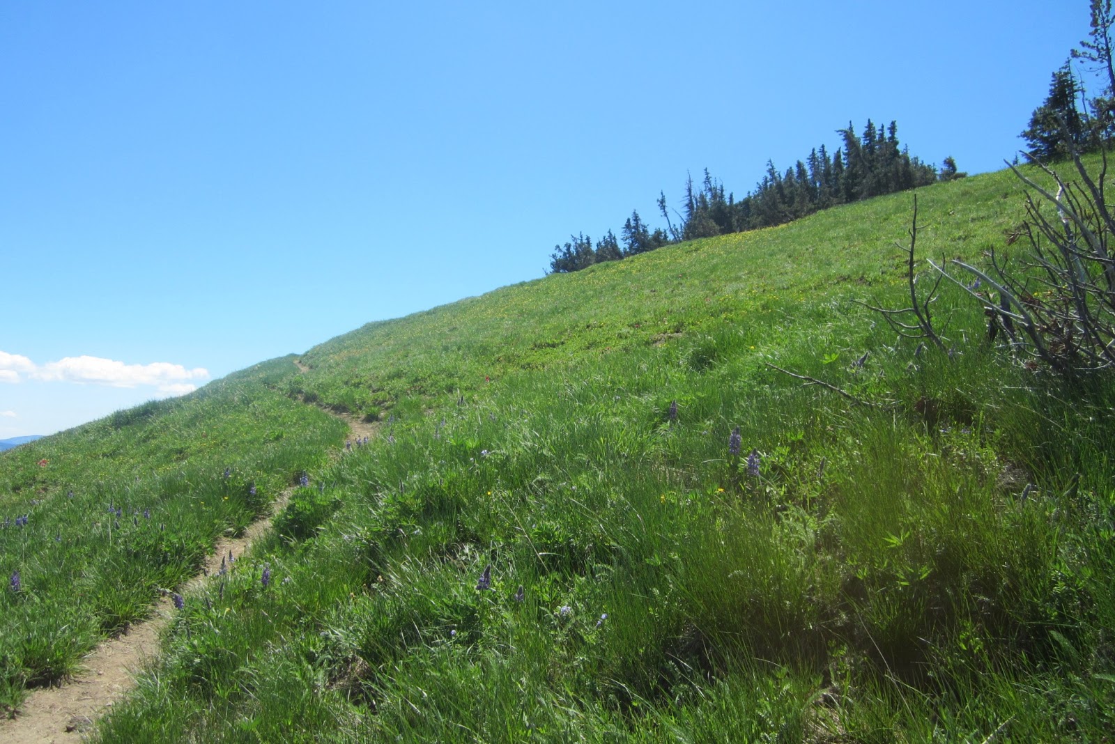
Wildflower meadow on the other side.
Scout Pass
I lost my ipod on the hike to I decided to hike up again the next day and look for it. I didn't bushwack this time and took the trails so my hope of finding it was like 40%. I found this nice bivy site almost to the top of Norse Peak. I will have to check it out sometime.


No comments:
Post a Comment