Monday, July 15, 2013

Summit House - > Northway Trail -> Norse Peak 07/14/2013


I had my route planned but I still didn't know if I had enough time do it all.  I started out going on the Silver Creek trail.  A new sign was there to greet me.


Hen Skin Lake, a good place to relax and it is less than two miles away from the Base Area.  From Hen Skin Lake it took Crystal Mountain Trail.


Here's a self portrait on me and the magnificent Mt. Rainier.


From the Summit House I went down the Northway Trail, here is the Northway chair lift.
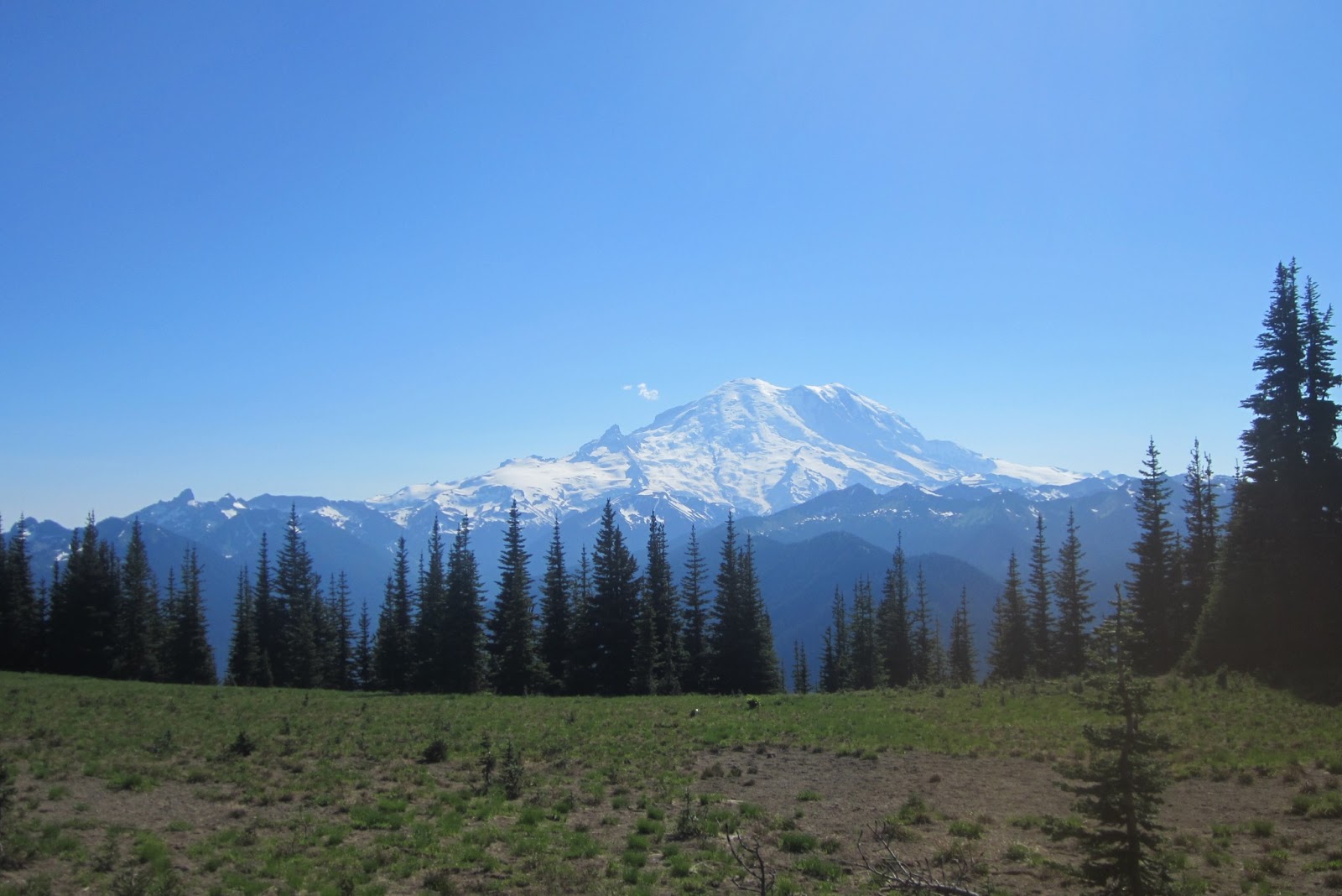


The Northway Trail is really beautiful and goes along this ridge and you have a good view of Mt. Rainier for more than a mile.  Here is maybe a good bivy site as well.  I will have to come back, although there nothing to protect me from the wind.


Here is a rock formation that I think was bolted recently, although I didn't see any signs of bolts.  The Northway Trail went on for a long ways, I was beginning to think I was on the wrong trail.


Finally the bridge.
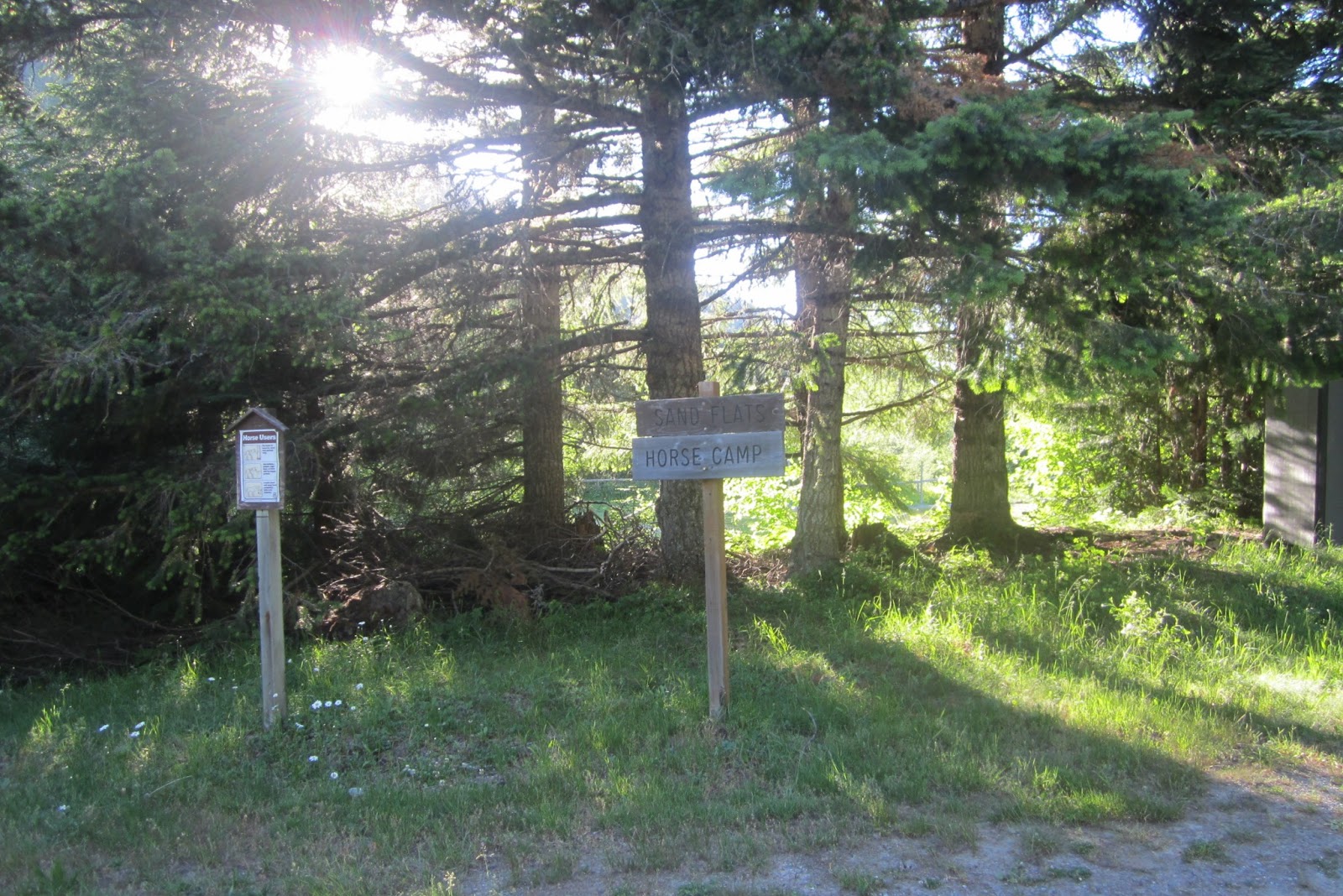


And the Sand Flats Horse Camp, about 3 miles away form the Base Area on Crystal Mountain Blvd.


I crossed the boulevard and was then on the Norse Peak Trail headed up a different way than I had been previously.


The sun was setting, I wasn't quite to the top yet.  Here is a view of Mt. Adams in alpenglow.


I finally made it to my bivy site, with 20 minutes before dark.  Woo-Hoo!


A beautiful day, and great views of the shooting stars later on is the night.


The next day I hiked down to Basin Lake.


But before I got there I saw some wildlife, it's a small herd of white tailed deer.


My self about to go down to Basin Valley.


From the Basin Lake Trail I hooked up with the Union Creek Trail and I took a side trail that landed me on top of the Bullion Basin Trail and headed back to the Alpine Inn.


Here a map with the red done in the afternoon and evening and the blue done the next day.


Friday, July 12, 2013

Rock Climbing Cayuse Pass 07/12/2013


Reid led us down to Cayuse Pass I had be through it before at night where 123 hits 410 state highways on the way up to Crystal from Portland.  There is a bunch of boulders in this area and there were two routes that were bolted in the 70's or 80's.  Reid is taking a look at one of them.


Jamie is about to solve one of two problems on the bolt.


This is upside down, obviously just making sure you guys are awake.  Actually I liked this angle of it upside down.  It gives you a real feel of the steepness,


Here is me, I didn't quite know what to do.  I needed some coaching.


\\


Here's me at the top, I made it!


There are a lot of boulders, but very few we can easily protect via crash-pads.  Most of them are too many big rocks on the ground.  This one was on flat ground and it was a great problem.  I have to come back.


This was Jamie's first time bouldering.  I think see likes it.

Sunday, July 7, 2013

Norse Peak 07/07/2013


Here's a hiking map with a satellite view of Crystal Mountain base area.  Some people were on the Bullion Basin Trail, so I bushwhacked up the cliffs on East Peak which the name isn't on the map but it is on the same ridge as Norse Peak.


I bushwhacked up all the way to Norse Peak.  I hiked up two creeks to avoid wildflowers.


I heard a noise coming from the trees, a bear, a elk, it was two deer.  I had time grab me camera just a the buck came out the trees.  


He was somewhat intrigued with the sound me camera made when is was taking a picture.


Norse Peak is in site, with the bushwhacking done I can return to trails but both are fun.


View from close to the top.  


Mt. Rainier from the top of  of Norse Peak, you can almost see Goat Island Peak.


Basin Lake


Wildflower meadow on the other side.


Scout Pass


I lost my ipod on the hike to I decided to hike up again the next day and look for it.  I didn't bushwack this time and took the trails so my hope of finding it was like 40%.   I found this nice bivy site almost to the top of Norse Peak.  I will have to check it out sometime.

Friday, July 5, 2013

Rock Climbing at Crystal


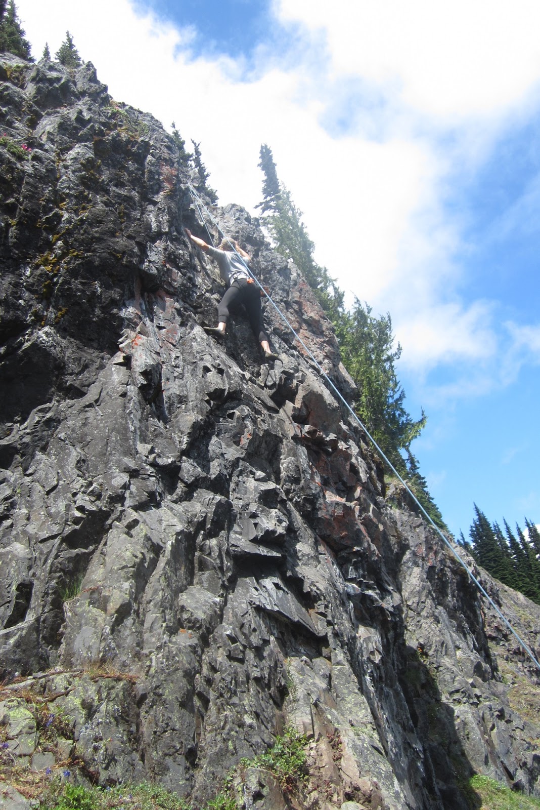
Reid took some of us rock climbing at the cliffs of Crystal Mountain.  Jamie is climbing.


All of the routes are one pitch.  I think there's eight or nine routes.  Kayleen is near the top.


Reid is rappelling down.  I didn't get any pictures of me because I had the camera.  It was really fun, next time we will leave earlier to get more time in before going back to work.

Goat Island Mountain 07/03/2013


Goat Island Mountain seemed like a good place to start exploring Mount Rainier.   I got this map from a site called SummitPost where various people give trip reports.  The Frying Pan Creek trail head is about 4 miles from the White River Information  center and like 6 miles into the park from the White River Entrance.


I was on the Wonderland Trail a trail that encircles Mt. Rainier when I stumbled across a bear.


It tuns out it was a family of bears.  The cubs where probably 3-4 months old.  The mother saw me, but wasn't threatened because her cubs came out after a couple a minutes.  There were eating some vegetation and were there for a good few minutes before taking off toward Frying Pan Creek.


A little footbridge on the way to Summerland.  A climber named E. S. Ingraham named this area.  


Continue towards Summerland then the real fun begins.  This route is almost all bushwhacking from here.  My notes told me to cross Frying Pan Creek about 1/4 mile from the footbridge.  That green meadow to the center of picture is close to the ridge I will be taking. 


This is Little Tahoma, a climb that I would like to do this summer.  It is a sub peak of Mount Rainier, and the   third highest peak in Washington at 11,138 ft.


Here's where I think I took the long way.  I climbed though this talus field, when maybe a should have gone to the other side, but it was heavy forested and a wanted to see the ridge line.


I ran into a mountain goat as well, a literally almost ran him over.  He retreated, far down the valley toward White River.


A game trail or hiking trail?  I have to stay on the ridge.


Great views of the mountain from here on out.


False summit, it is still maybe 1,000 of elevation.


A self timing picture of me of top of Goat Island Mountain elevation 7,288 


You can see the long ridge I had to hike to the top of the peak.


Mt Adams and Mt. Hood in the background.


I belive this is Shadow Lake looking NE.


Here I made another mistake, I tried down climbing this because it was less rocky.  But it cliffed out and I had to climb up a bit and over to the grassy knoll area and I glissaded down a bit on some snow.


Here  is a marmot, overall I saw a great abundance of wildlife this trip.

Monday, July 1, 2013

Black Butte 07/01/13


Nice view of the base area from about mid way up Gold Hill.


I am taking Sliver Creek Trail, to Pacific Crest Trail.


I saw an abandoned mine, I think there are a few in these mountains alone.


Here's the view from inside, I probably went about 500 into it but I had more pressing business outside.   It would be fun to go back and check the mine out further.


I found a large bone at a trail junction.  I decided to take the Pacific Crest Trail south.


I then climbed on top what I think the locals call Black Butte.  It is on the same ridge as Three Way Peak.  You can see Threeway and Mount Rainier in this photo.